Physical Geography
 The main research areas of physical geography are in the fields of climate science and environmental sciences. In terms of methods, they are based on the development of new technologies as well as on the combination of analytical methods, measurements, and different modeling approaches. The latter range from geostatistical and geochemical models to supercomputer-based simulations with physical, numerical models.
All focus areas at our institute, in particular, aim to gain a better understanding of the processes that govern the various systems of interest; this unifying effort goes hand in hand with establishing links to other environmental, socio-ecological, and socio-economic aspects on different timescales.
Research focus areas
Climate research
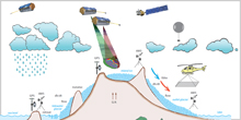
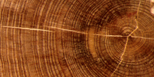
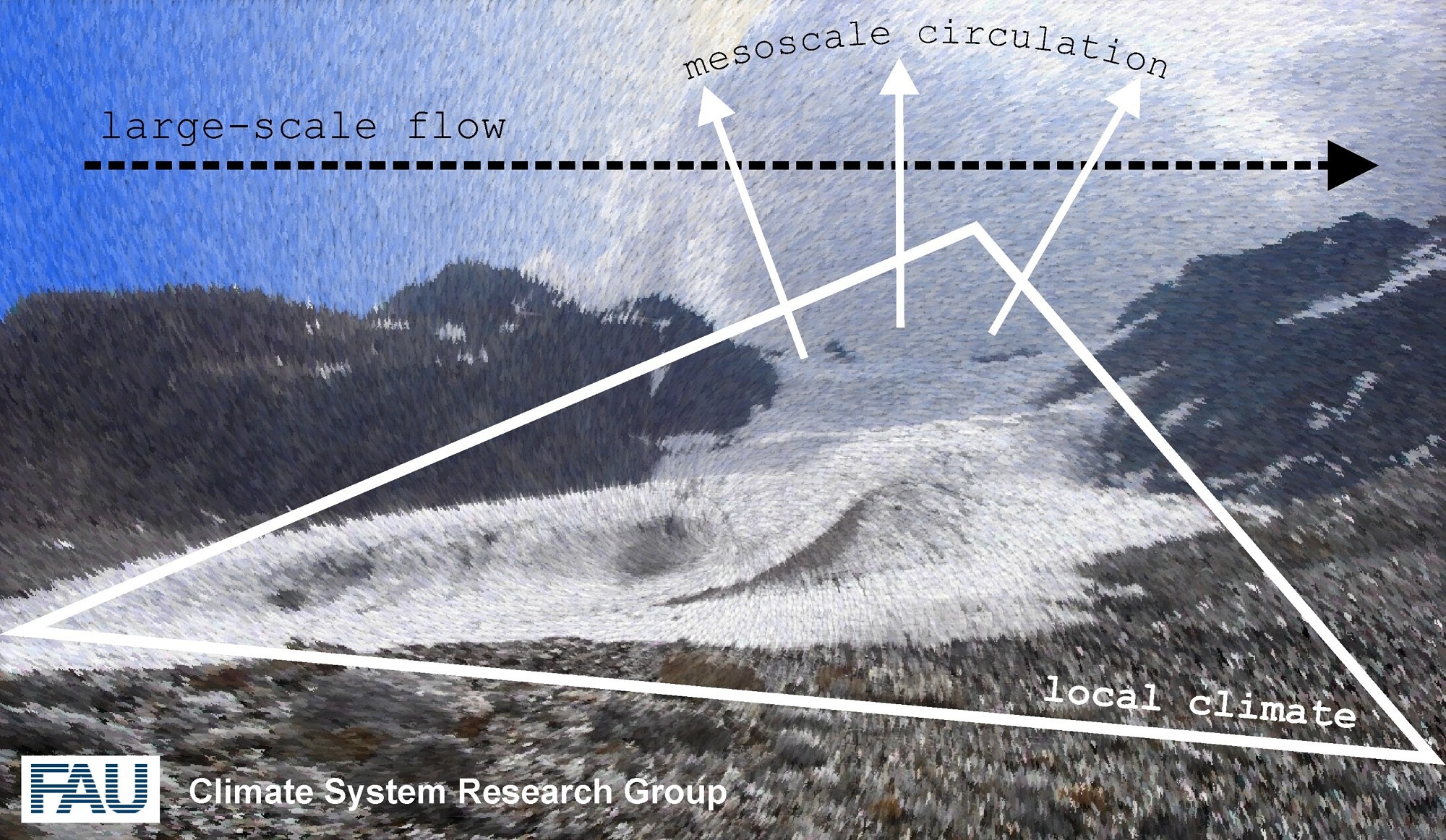
The approaches at our institute cover an exceptionally wide spectrum of climate sciences. They range from the “reading” of so-called climate proxies (eg tree rings, soil properties) to the recording of climate-controlled phenomena from space (remote sensing) to the simulation of climate processes with the help of models and supercomputers. The interaction between different subsystems of the climate (atmosphere, biosphere, cryosphere) plays a central role in order to better understand the functioning of the Earth-Atmosphere-System. In addition, the research focuses on periods ranging from the weather scale (a few days) to many centuries.
working groups
Detailed information and current projects can be found on the pages of the working groups:
Environmental studies
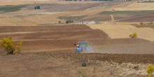
The area of environmental research covers several disciplines to analyze rates of environmental processes and temporal and spatial variations of environmental change. To quantify important geoecological parameters we use modern equipment available in a soil lab, a stable isotope lab, and a tree-ring lab. Besides basic research on dendroecology and pedogenesis major aims are the reconstruction of past climate variability and identification of the impact of climate and environmental change on major compartments of terrestrial ecosystems. Specifically, soils and vegetation are in the focus of our interest.
working groups
Detailed information and current projects can be found on the pages of the working groups:
Geoinformatics
Geoinformatics covers the innovation fields of geographical information systems, remote sensing and environmental or geophysical modelling. In those domains progressively large data amounts are handled and automatically processed in order to allow spatial analysis. The aim is to gain improved, more accurate and if possible quantitative information on dynamic processes and changes in our earth system and to better explain them.
working groups
Detailed information and current projects can be found on the pages of the working groups: